 So this is what I like about the cruising life: you never know what you're going to do until you're doing it. After last evening's weather check, we went to bed planning to wait out the predicted morning rain storm and then travel on in the afternoon after the sun came out around 3:00. Of course, the rain didn't materialize, it's been put off until this afternoon and this morning it's cloudy, cold and very windy. So here we sit. On the free dock at Fort Walton Beach (that you're only supposed to stay at for one day. It's off-season so hopefully they won't mind a wee stretch to our "one day"). Yesterday it was shorts, t-shirts and flip-flops. Today it's hoodies. It looks like a movie marathon day! Hopefully tomorrow's sun prediction will materialize and we'll move on.
Here's a little bit about the crossing we're getting ready for. Hopefully this map of Florida will help. The little boat, well, that's us right now. We need to travel East to the blue circle. Then when the weather is right, and the Gulf of Mexico is not tooo nasty, we'll cross over to the pink circle. The reason that we make the crossing is that North/East corner of the Gulf of Mexico is very shallow and full of shoals. Most folks on the Loop do it this way, although, it is not out of the question that we'll change our mind and go the "Big Bend" route, which visits some of the towns up in the North/East of the Gulf (Florida's North/West coast). Could happen. Both routes have their challenges and it mostly depends on the weather (and our mood).

There are a bunch of boats travelling towards the blue circle right now and a several of us will meet there and wait for our weather window. Then we'll cross together. The crossing will take well over twenty hours. We'll leave in mid-afternoon, Jeff and I will take turns driving or napping all night long and we'll arrive in the sunny south the following afternoon. Hurray!!
After that we have a month-long stay at a very nice looking marina booked and we're toying with the idea of getting the car down here. Anyone feel like going for a drive??
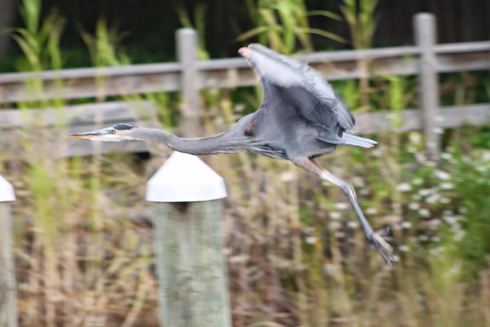
Below: Jeff finally got his opportunity for the perfect Heron pictures. This little guy likes to hang-out around our dock. He's especially friendly when the locals come out to collect fishing bait. Nice skinny legs, eh?
 |


No comments:
Post a Comment